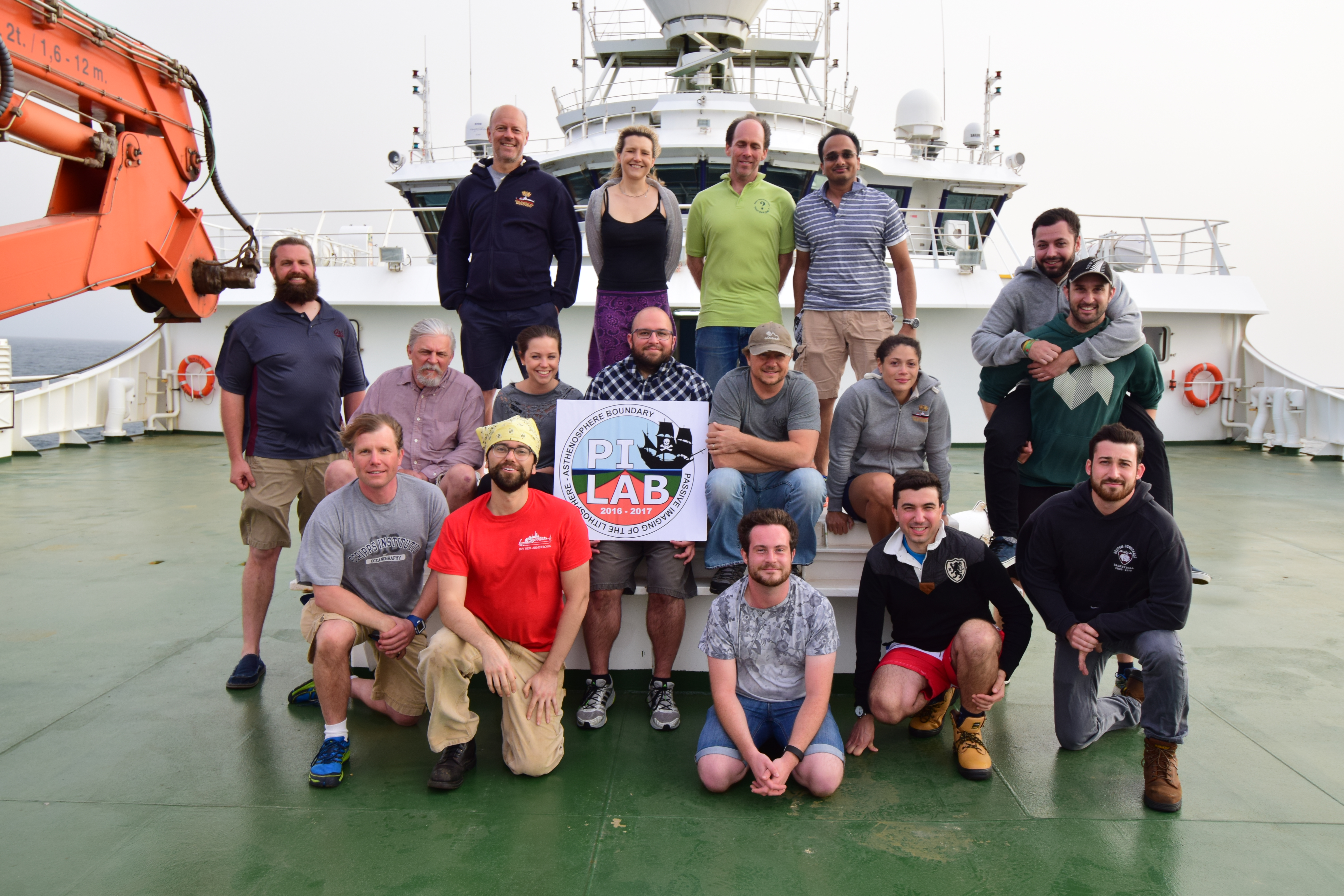
A team of seismologists from the University of Southampton are currently on board the Royal Research Ship Discovery sailing across the Mid-Atlantic Ocean.
They are out for the second phase of the PI-LAB (Passive Imaging of the Lithosphere-Asthenosphere Boundary) project, this time recovering ocean bottom stations that were deployed last year. Their scientific mission is to determine what makes a plate – ‘plate-like.’ The scientists will use local and distant earthquakes recorded on 39 seismometers and the Earth’s electromagnetic field recorded on 39 magnetotelluric instruments to image the base of the rigid tectonic plate, the lithosphere, as it transitions to the softer layer underneath it – the Asthenosphere.
The research cruise left off from Port of Tenerife on the 28th March heading south towards the equator. During this month-long expedition, along with the recovery of 78 ocean bottom instruments, other observations such as gravity, magnetic and bathymetric are also being made. Together they will provide a more complete study of the Mid-Atlantic Ridge. The team is expected to return back to Tenerife on 2nd April.
This project is a collaboration between various institutions that are providing the instruments and technical expertise. These are Institut Physique Du Global de Paris (IPGP), Lamont-Doherty Earth Observatory (LDEO) from the University of Columbia, Scripps Institute of Oceanography (SIO) from the University of San Diego, University of Southampton (UoS), University of Bristol, and GEOMAR from Helmholtz Centre for Ocean Research Kiel. The funding is provided by the Natural Environment Research Council (NERC), the European Research Council (ERC), and the National Science Foundation (NSF). The Principal Investigator of the mission is Catherine A. Rychert from the University of Southampton.
For more information on the on-going expedition visit the online blogs http://pilabsoton.wordpress.com
http://jmkendall.blogs.ilrt.org