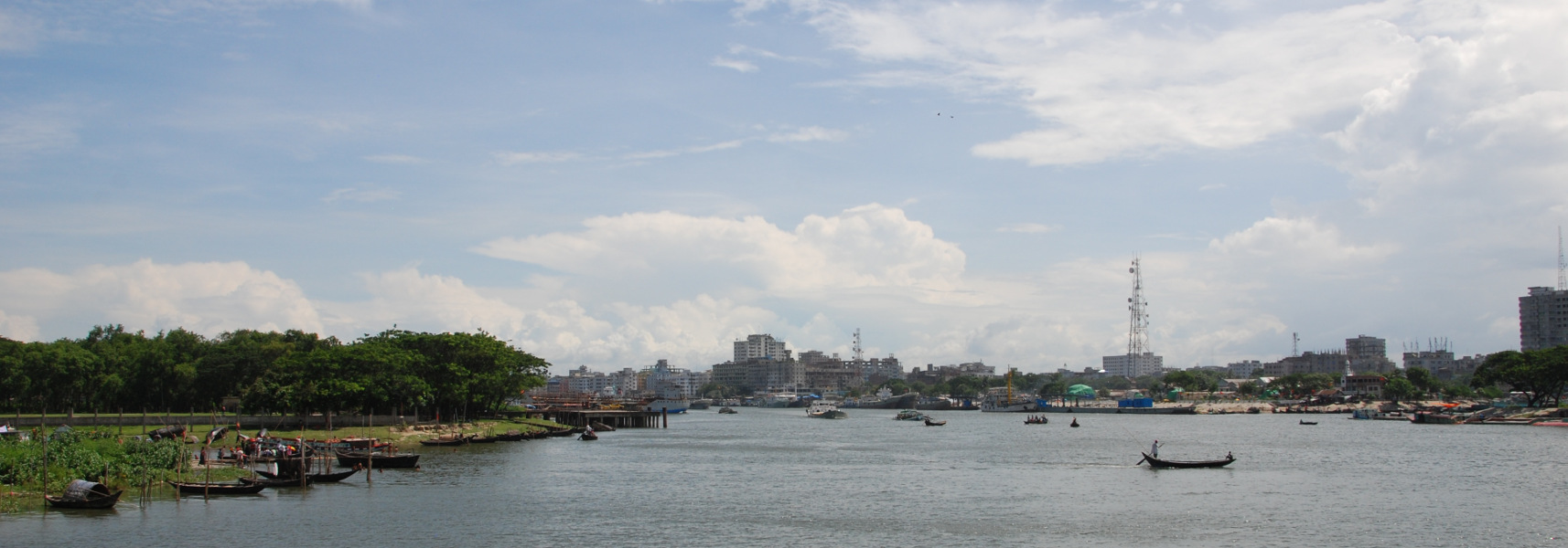
Researchers from the Geology and Geophysics group are currently conducting fieldwork on some of the world’s largest river systems in Bangladesh. Working from river cruise boat, Jon Bull, Mark Vardy, and John Davis are using high-resolution multi-beam bathymetry and boomer seismic reflection techniques to map the surface morphology and subsurface architecture of large scours (so-called ‘megascours’) formed at confluences, hard points and constrictions in the Ganges, Jamuna (Brahmaputra), Padma, Meghna, and related rivers.
This is the second in a series of surveys conducted in collaboration with Greg Sambrook Smith and Simon Dixon from the University of Birmingham, and Jim Best from the University of Illinois. Together, these data will form the first high-resolution marine geophysical investigation of fluvial confluence, bend and constriction scours on this scale.
It is hoped this research will lead to a better understanding of the physical processes behind megascour formation and growth. How these scours evolve and which factors are most important in controlling this evolution are of critical importance for low-lying countries built on fluvial deltas, such as Bangladesh. These systems can move kilometres in a single year, creating a dynamic landscape where hundreds of thousands of people each year lose their homes, land, and whatever possessions they cannot carry to the constant cycle of erosion.