Shari Gallop, Sebastian Pitman and Ivan Haigh from Ocean and Earth Science, University of Southampton are collaborating with Dr Karin Bryan from the University of Waikato and Roshanka Ranasinghe (UNESCO-IHE, Deltares, ANU), to understand the dynamics of rip currents. Rip currents are jet-like flows in the surf zone. Globally, rips are one of the main causes of drowning, often attributed to a lack of understanding that apparently ‘calm’ areas in the surf zone may in fact contain rips. There is still no reliable method to automatically detect rips, and to measure the range of rips that exist; and determine which types are most dangerous, during which conditions.

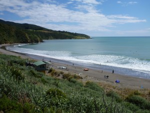
Field work was undertaken at Ngarunui Beach, Raglan, on the west coast of the North Island of New Zealand. Ngarunui is an energetic, 2 km-long dissipative beach with a tidal inlet to the north, and a headland at the southern end.

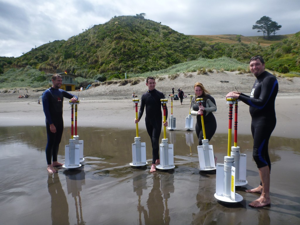
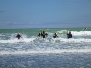
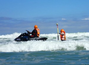
Acoustic Doppler Velocimeters (ADVs) were deployed daily in the intertidal zone; focusing on a rip, and the feeder channels. 9 floating GPS drifters were deployed over the three days at various stages of the flood tide. These drifters were deployed in clusters to investigate dispersion; and also evenly spaced along the beach. The Raglan Coast Guard attended with their jet ski to deploy and retrieve drifters from the back of the surf zone.


Analysis is under way to understand how rip current flows vary with wave and tide conditions. These data will also play an important role in the PhD of Seb Pitman who is developing a computer algorithm to automatically measure rips from video imagery.
We are grateful to the IMarEST Laurie Prandolini Research Fellowship Award for funding the field work.

