
Currently browsing tag

scanning

Digitally Recording A 3rd Century BC Underwater Battlefield

One of the most exciting archaeological discoveries of the last decade has been an ancient naval battlefield off the Egadi Islands in Italy. Located in over 100 metres depth and requiring robots to survey and record the artefacts, the site dates to the decisive climax of the First Punic War between Rome and Carthage in 241 BC. Previously, only two waterline warship rams had ever been discovered, but ten have been found at the battle site together with thousands of other artefacts. Continue reading →

sotonDH small grant: Scanning Winchester Cathedral (part two)

Having received a small sotonDH student research grant I took the ScanStation 2 laser scanner owned by the Geography department to Winchester cathedral. Scanning started with the Pilgrims’ hall located next the Pilgrims’ school (attached) with both the interior and exterior being scanned at a 2cm resolution. The resolution was chosen through a combination of trying to gain enough data that can be used to create a reasonable representation of the building with the time available. Continue reading →

sotonDH small grant: Scanning Winchester Cathedral

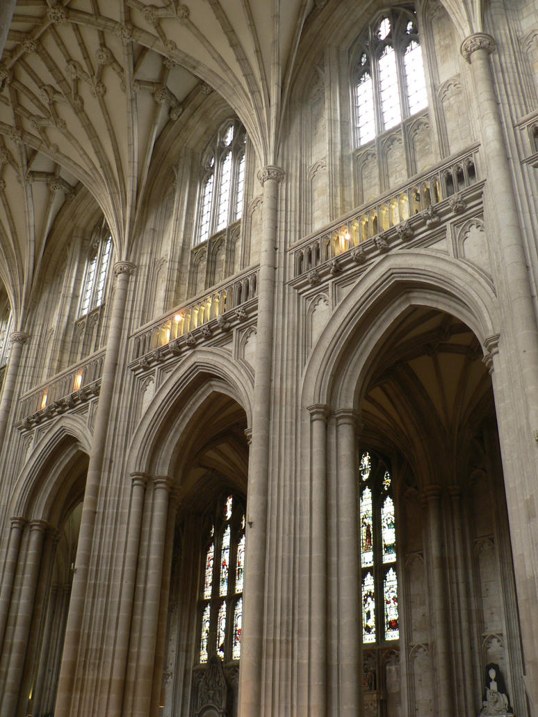
I recently gained some funding in the form of a small sotonDH student research grant that was used within the data collection of my PhD. The focus of the application was on the use of a terrestrial laser scanner to create an accurate recording of Winchester cathedral and its surrounding buildings. The cathedral was original consecrated in 1093 and since its formation has undergone a number of different changes in terms of size, architecture and use. Continue reading →