Currently browsing tag

THaWS

Between the Desert and the Nile. Theban Harbours and Waterscapes

The West Bank of Thebes Back in 2011 the Theban Harbours and Waterscapes Survey (THaWS) started with a field season of geophysics. This Egypt Exploration Society project (www.ees.ac.uk), directed by Dr Angus Graham,  was established with the aim of using different techniques to study the settlements and temples on the east and west banks of the Nile, and how they relate to the changing floodplain and river. Continue reading →

Geophysics at Karnak – Intensive GPR survey and the beginning of the end of the survey

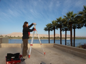
The latest work on the THaWS project has been marked by the intensity of survey profiles and survey areas covered, and  the fact that the team have been working almost exclusively in and around Karnak temple. The transition of the GPS survey from the West to the East Bank went smoothly, as reported in the last post. We established a base station on the roof of Chicago House on the West Bank, with the very kind permission of the staff. Continue reading →