Currently browsing tag

ERT

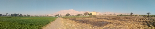
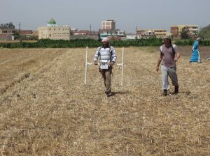
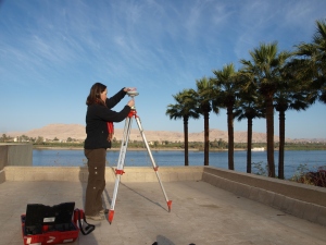
The Portuslimen Project. Geophysical Survey and Fieldwalking at Ephesus

One of the more constraining factors of geophysical survey in an archaeological context is the potential difficulty in dating or phasing anomalies in the data. Although hard science forms the main component of survey work, there is a large subjective element involved in the interpretation of geophysical survey data, which ultimately can decide the nature, function and phase of features. Continue reading →

The Portuslimen Project. Geophysical survey at Tarragona, and the constraints of modern urban areas

Over the past few months of field survey, work has swung around to a series of projects lined to Roman ports in the Mediterranean. In June and July I headed back for a season of excavations at Portus, and in August and September geophysical survey at the site of Ephesus in Turkey (more on this in a future post). In October and November work has commenced on a geophysical and topographic survey of the Roman port area of the town of Tarragona in Catalonia, Spain. Continue reading →

Between the Desert and the Nile. Theban Harbours and Waterscapes

The West Bank of Thebes Back in 2011 the Theban Harbours and Waterscapes Survey (THaWS) started with a field season of geophysics. This Egypt Exploration Society project (www.ees.ac.uk), directed by Dr Angus Graham,  was established with the aim of using different techniques to study the settlements and temples on the east and west banks of the Nile, and how they relate to the changing floodplain and river. Continue reading →

Blog Catch-up #1: Archaeology and Survey in the Nile Delta at Naukratis

Due to commitments in the field over the last month or so it has proved difficult to keep up to date with the blog. Now seemed like a good time to produce a few posts to highlight some recent fieldwork and site visits, starting with a recent survey at Naukratis. In May 2014 I conducted geophysical survey at this archaeological site in the Nile Delta. Continue reading →

Electrical Resistivity Tomography on the Isola Sacra

Further to my last post, the week before last was spent with a team from the British School at Rome carrying out a single Electrical Resistivity Tomography (ERT) profile across part of the Isola Sacra, designed to complement the magnetometer survey of the area, and recent coring undertaken by Ferreol Salomon. The Necropolis di Porto, showing the Via Flavia, between Portus and Ostia Antica. Continue reading →

Geophysics at Karnak – Intensive GPR survey and the beginning of the end of the survey

The latest work on the THaWS project has been marked by the intensity of survey profiles and survey areas covered, and  the fact that the team have been working almost exclusively in and around Karnak temple. The transition of the GPS survey from the West to the East Bank went smoothly, as reported in the last post. We established a base station on the roof of Chicago House on the West Bank, with the very kind permission of the staff. Continue reading →